


Marine Ways
Deskripsi Marine Ways
SANGGAHAN:
MARINE WAYS TIDAK MEWAKILI BADAN PEMERINTAH MANAPUN DAN TIDAK MENYEDIAKAN ATAU MEMFASILITASI LAYANAN PEMERINTAH MANAPUN.
MARINE WAYS TIDAK BERAFILIASI DENGAN NOAA DAN TIDAK MEWAKILI NOAA.
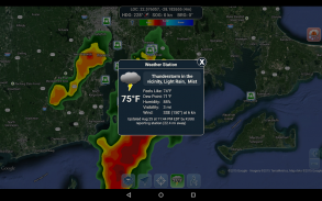
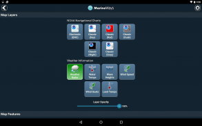
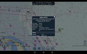
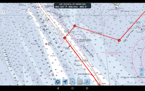
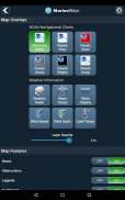
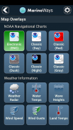
ALAT PERENCANAAN RUTE
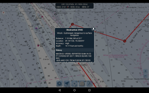
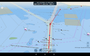
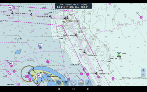
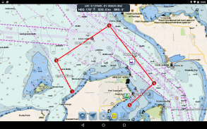
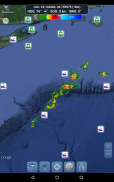
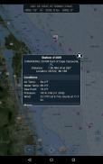
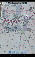
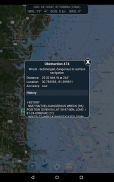
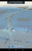
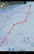
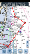
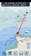
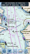
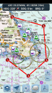
-Pemetaan Rute. Ketuk dan tahan pada peta selama satu detik untuk memetakan titik rute Anda. Untuk membentuk rute, terus ketuk dan tahan pada peta di area yang berbeda. Jarak dan haluan dihitung dan ditampilkan dengan mudah untuk setiap bagian saat Anda menambahkan, menyesuaikan, atau menghapus titik rute.
-Mode Perjalanan. Secara otomatis memusatkan peta pada posisi Anda saat ini saat Anda bergerak. Gunakan mode perjalanan untuk melihat seberapa dekat Anda mengikuti rute yang diplot secara real time!
-Ringkasan Bagian Rute. Tampilan mudah yang berisi informasi terperinci dari setiap bagian yang telah Anda plot, termasuk koordinat awal dan akhir, jarak, dan haluan.
Nikmati aplikasinya! Marine Ways juga tersedia di web di http://www.marineways.com
Marine Ways - Versi 1.81
(11-06-2025)Marine Ways - Informasi APK
Versi APK: 1.81Paket: com.marineways.androidVersi Terakhir dari Marine Ways
Versi lain


Aplikasi pada kategori yang sama

Anda juga mungkin suka...
Aplikasi pada kategori yang sama


